Auburn Ecohydrology Lab
Principal Investigator Frances O'Donnell
Home » Projects
Projects
Current Projects
A landscape-scale approach to wetland mitigation of non-point source agricultural runoff
Collaborators: Matt Waters, Crop, Soil & Environmental Sciences; Steven Brantley and Steve Golladay, The Jones Center at Ichauway
Funding Partner: USDA National Institute of Food and Agriculture
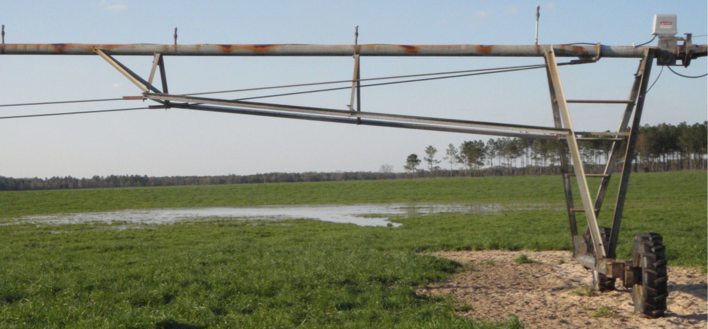
Geographically isolated wetlands (GIWs) are widespread in many agricultural regions, but their role in mitigating non-point source pollution is poorly understood and they lack the legal protections of riparian and floodplain wetlands. This study investigates these issues on the Dougherty Plain of southwestern Georgia, a karstic region with numerous GIWs and intensive irrigated row crop agriculture. We combine hydrologic data and sediment fingerprinting with analysis of wetland sediment cores to infer the trajectory of nutrient deposition and biogeochemical function during the historical period of agricultural expansion and its response to climate cycles. Local agricultural stakeholders are engaged in the research activities through a collaborative process of discovering the presence and value of GIWs on working farms.
Water quality testing services support for the State University of Haiti-Limonade
Collaborators: Joe Molnar, Agricultural Economics & Rural Sociology; Gobena Haluka, Crop, Soil, & Environmental Sciences
Funding Partner: USAID Water and Sanitation (WATSAN)
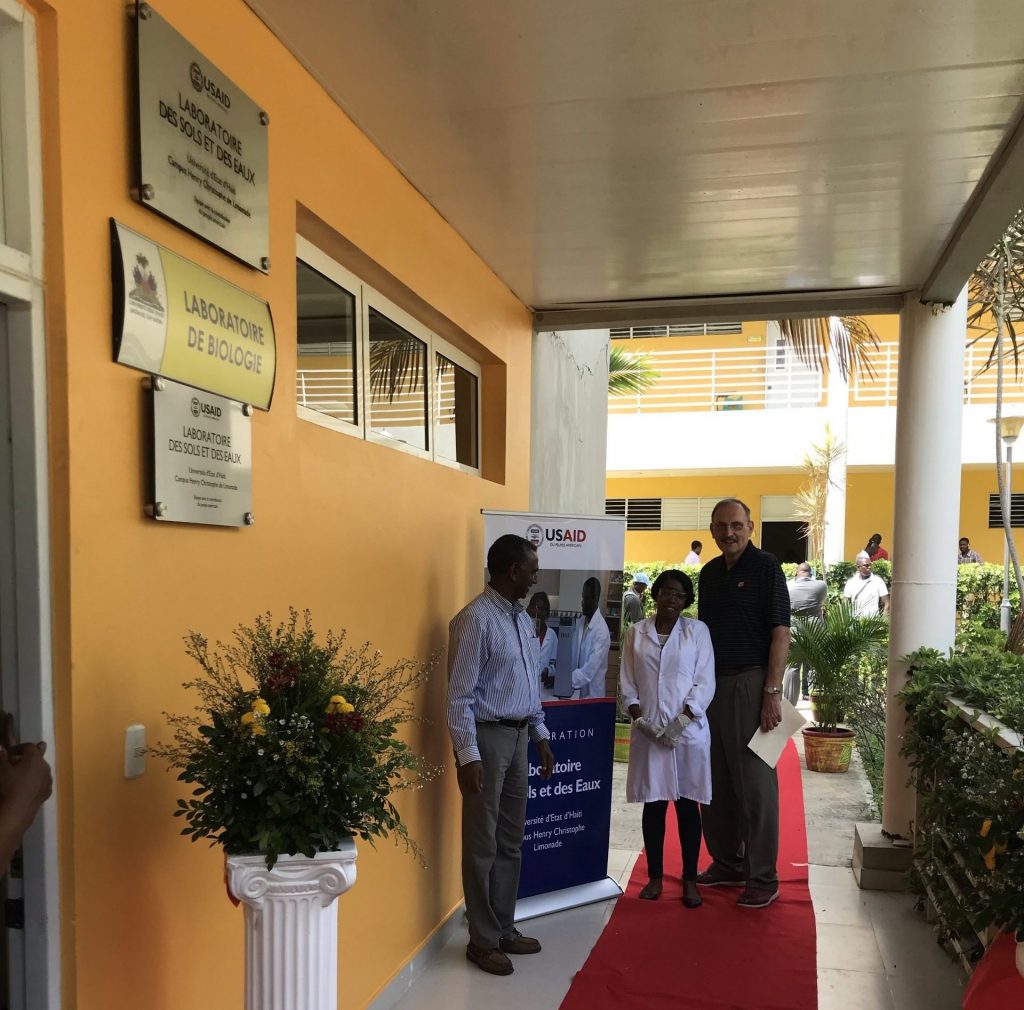
The USAID WATSAN project is working to build the skills of local water management entities in Haiti. We are working with the State University of Haiti Campus Henri Christophe-Limonade to establish laboratory capabilities to provide water quality testing services for the Northern Corridor of the country. Of particular focus is microbiological testing to reduce the vulnerability of the region to cholera outbreaks.
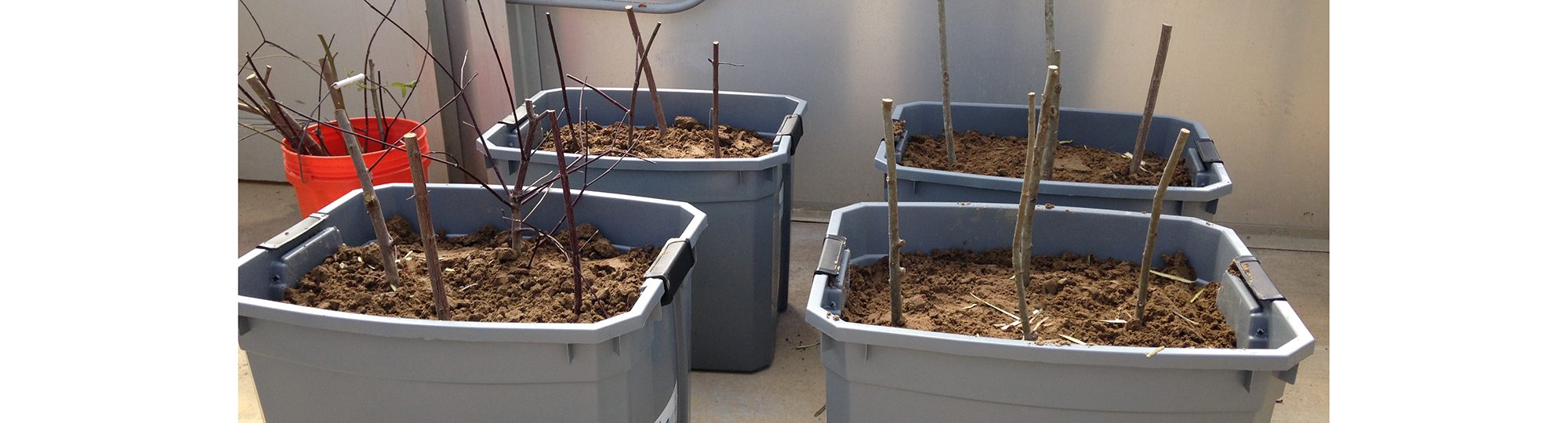
Use of vegetative covers for repairing shallow slope failure and mowing-induced rutting
Collaborator: Jack Montgomery, Civil Engineering
Funding Partner: Auburn University Highway Research Center

Shallow slope failures are a common occurrence along highway slopes in Alabama. Vegetative covers are a permanent repair for surface failures that provide low-maintenance and economical slope stabilization and control of water and wind erosion. This study will identify types and species of native vegetation that can be used in vegetative covers with minimal mowing requirements. We are monitoring rainfall, runoff, and sediment yield on vegetation test plots and will measure root and soil strength when vegetation is fully established.
Hydrologic behavior of porous pavements on Alabama soils
Collaborators: Ben Bowers and Jose Vasconcelos, Civil Engineering
Funding Partner: Alabama Water Resources Research Institute
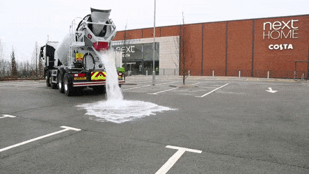
Porous pavements are a best management practice that provide a stormwater solution while serving as a functional component of a site (e.g. parking, roadway). One of the primary challenges to implementation is a lack of practical calculation methods for the hydrologic function of porous pavements. We are developing and testing a model for the hydrologic behavior of porous pavement systems under the climate and soil conditions prevalent in Alabama. Results of model simulations over a broad range of conditions will be translated into a user-friendly calculation procedure that can be implemented for stormwater management planning.
Optimization of green infrastructure for stormwater management in Alabama communities
Collaborators: Ben Bowers and Jose Vasconcelos, Civil Engineering
Funding Partner: Alabama Water Resources Research Institute
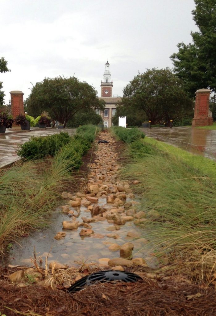
Green infrastructure (GI) has the potential to greatly increase the sustainability of stormwater management in Alabama by reducing disturbance to surface water quantity and quality from urban development. To be widely adopted, GI must be able to compete with conventional practices on both performance and cost. We are developing a user-friendly, Excel-based cost optimization tool to help developers and municipalities identify GI practices that meet their needs in a cost-effective manner.
Past Projects
A multi-disciplinary analysis of the vulnerability and resilience of coastal communities to climate-related hazards
Collaborators: Christopher Burton and Martin Medina, Geosciences; Sanjiv Kumar, Forestry; Di Tian, Crop, Soil, & Environmental Sciences
Funding Partner: Auburn Intramural Grants Program
This project was a multidisciplinary effort to improve our basic understanding of the drought-related hazards that coastal regions face and to develop methods to better assess and improve the resilience of communities. We analyzed regional groundwater data and determined that groundwater levels were declining. Related analysis of surface water and climate data suggested that the decline was primarily due to increased groundwater pumping for agricultural irrigation. By combining these results with a large-scale analysis of crop failure risk and a climate modeling study of soil moisture impacts on precipitation formation, we developed a conceptual model for the evolution of agricultural drought in coastal plain agroecosystems. Cities and towns also interact with coastal aquifer dynamics to drive saltwater intrusion. Urbanization increases impervious area which decreases infiltration to groundwater and increases runoff locally. We determined that the impact of urbanization on hydrology at the watershed scale is heterogeneous in the Southeast and depends on the stormwater management practices used. We also developed a new stakeholder-driven approach for measuring the resilience of communities to slow-onset climate hazards, such as drought, that accounts for the unique socioeconomic conditions of the community.